Program Information
-
Location: Downtown Milwaukee Campus
- Pathway: STEM
- Program Code: 10-607-1
- Offering: In-Person
- Degree Type: 2-Year Degree (Associate)
- Start Dates: August
About the Civil Engineering Technology Degree
Description
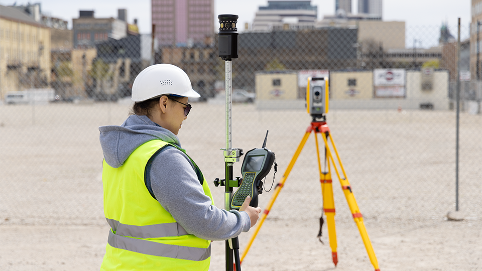
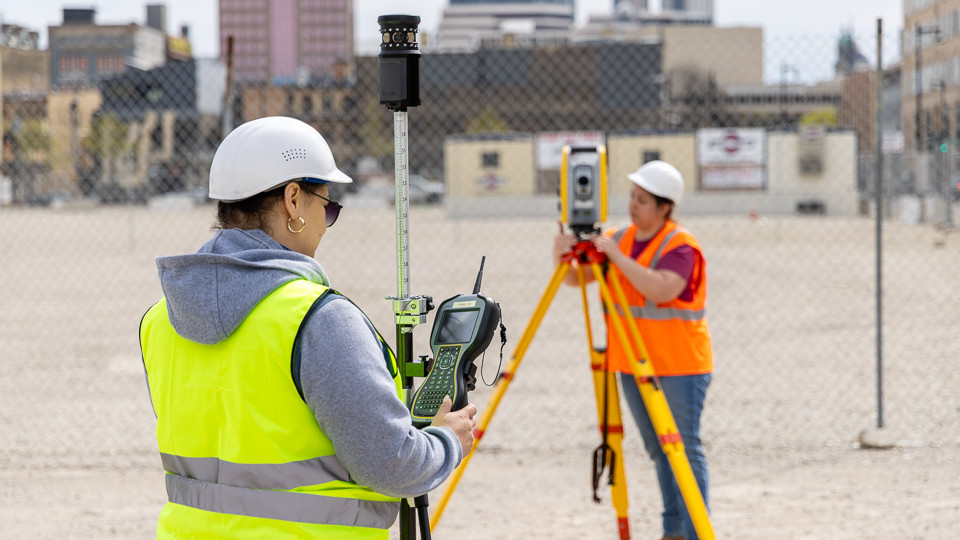
Assist civil engineers in planning, designing, scheduling, estimating, surveying and inspecting construction projects. Also, specific elective surveying courses provide an option for a land surveying career.
Civil engineering technicians and surveying technicians are needed in all phases of project development.
You can earn the Surveying and Mapping technical diploma on the way to completing this associate degree.
Additional program details: During the course of the program, students have the opportunity to take the examination for the Highway Technician Certification PCC Tech Level 1, as well as the Certified Survey Technician Level 1 exam. Upon successful completion of the program, students are eligible to take additional certification exams. Graduates can also become licensed as registered land surveyors after meeting Wisconsin registration requirements.
Key to your success in the program is an ability to find creative solutions to technical problems. Students may consider pursuing additional education in a four-year engineering program. Some of the credits in this program transfer to different colleges and universities. Check with your advisor and the institution you plan to attend regarding specific transfer details.
This program is approved through the Land Surveyor Section of the Wisconsin Examining Board of Architects, Landscape Architects, Professional Engineers, Designers and Professional Land Surveyors.
READY TO TAKE THE NEXT STEP?
Use the buttons below to get more information, visit the college or apply now.
Request Info Visit Us Apply Now
Career Outlook
Related Programs
Detailed Program Information
2025-26 Curriculum
| Course | Course Name | Credits |
|---|---|---|
| CIVIL-101 | Civil Engineering Drawing ^ | 2 |
| CIVIL-102 | Introduction to AutoCAD ^ | 2 |
| CIVIL-105 | Computer Applications ^ | 2 |
| CIVIL-135 | Public Works Engineering and Estimating | 3 |
| CIVIL-155 | Surveying 1 ^ | 2 |
| MATH-115 | College Technical Mathematics 1 ‡ ^ and MATH-201 College Algebra | 5 |
| CIVIL-106 | Intermediate AutoCAD ‡ ^ | 2 |
| CIVIL-147 | Soils and Materials Testing ‡ | 3 |
| CIVIL-156 | Surveying 2 ‡ ^ | 2 |
| ENG-195 | Written Communication ‡ ^ (or) ENG-201 English 1 ‡ |
3 |
| MATH-116 | College Technical Mathematics 2 ‡ and MATH-202 Trigonometry | 4 |
| CIVIL-110 | Introduction to Civil 3D ‡ ^ | 2 |
| CIVIL-141 | Statics and Strength of Materials ‡ | 4 |
| CIVIL-157 | Route and Highway Surveying ‡ ^ | 3 |
| ELECTIVES | (Three credits) | 3 |
| ENG-197 | Technical Reporting ‡ (or) Any 200-level ENG or SPEECH course |
3 |
| PSYCH-199 | Psychology of Human Relations (or) any 200-level PSYCH course |
3 |
| CIVIL-142 | Structures ‡ | 3 |
| CIVIL-148 | Structural Detailing ‡ | 3 |
| CIVIL-158 | Land Surveying ‡ | 2 |
| CIVIL-170 | Sewer and Water Systems ‡ | 3 |
| ELECTIVES | (Two credits) | 2 |
| SOCSCI-197 | Contemporary American Society (or) any 200-level SOCSCI or HIST course |
3 |
| TOTAL CREDITS | 64 |
‡ Prerequisite required.
^ Counts toward earning the Surveying and Mapping technical diploma.
Program curriculum requirements are subject to change.
This Associate in Applied Science program will transfer to one or more four-year institutions.
Current MATC students should consult their Academic Program Plan for specific curriculum requirements.
Search for available classes now (link) to see course descriptions, class times and locations.
Already a student? You can visit Self-Service (link) and choose Student Planning to register for classes.
2025-2026 Program Flyer
Important Dates
Deadlines and important dates can be found on:
Cost & Aid Deadlines
Also, you can find dates and deadlines on the MATC Calendar
Program Outcomes
- Utilize CAD and sketching techniques to produce engineering documents
- Perform design and routine testing procedures related to construction materials
- Utilize land surveying instruments to collect data necessary to produce topographic maps, establish horizontal and vertical control, and to layout civil engineering projects
- Operate computer software and hardware to solve technical problems
- Apply elements of design to roads, subdivision layout, storm and sanitary sewer systems
Admission Requirements
High school diploma or equivalent
Academic Preparedness Requirements
Scholarships
Accreditation
This program is approved through the Professional Land Surveyor Section of the Wisconsin Examining Board of Architects, Landscape Architects, Professional Engineers, Designers and Professional Land Surveyors; Department of Safety and Professional Services, P.O. Box 8366, Madison, WI 53708-8366; 608-266-2112;
https://dsps.wi.gov/Pages/BoardsCouncils/AE/LandSurveyor/Default.aspx.
READY TO TAKE THE NEXT STEP?
Use the buttons below to get more information, visit the college or apply now.
Request Info Visit Us Apply Now
QUESTIONS?
STEM Academic & Career Pathway
414-297-6319
stempathway@matc.edu


